Field Survey Methods
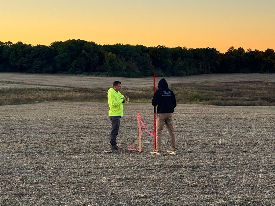
Traditional field surveys use GNSS receivers and conventional survey methods to measure points directly on the ground. This is the most direct way to confirm elevations, locations, and property lines, and it is the foundation for signed surveys where a licensed surveyor's seal is required.
Our crews set ground control, shoot ground-truth and check points, and record the metadata engineers need to trust the results, including in areas where brush, ditches, or dense vegetation hide the surface.
When Field Survey Is the Right Tool
Field survey is often the best choice for
- Property boundaries and signed survey work
- Control for drone LiDAR and photogrammetry projects
- Check points to verify accuracy requirements
- Sites with dense vegetation, ditches, or limited drone access
- Points that must be located precisely for design or construction
Working Together With Drone Data
Most projects benefit from both. Drones capture a complete surface quickly, and field survey verifies it. We compare drone surfaces to independent field check points and report the results against the accuracy your project requires.
Why SkyFleet
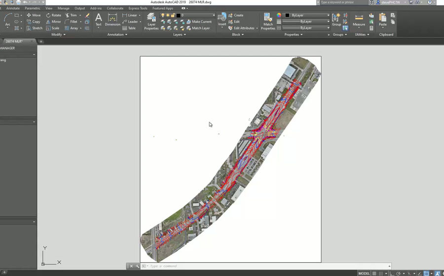
Licensed surveyors in Iowa and South Carolina oversee signed survey work, and our field and drone data are processed together into one consistent, CAD-ready dataset.