Built for Telecom and Infrastructure Teams
SkyFleet supports companies that need reliable visual documentation without sending crews up towers, across rooftops, or into difficult access areas unless absolutely necessary. Using high-resolution imagery, thermal cameras, 3D modeling, and structured reporting, we capture the site clearly, organize the data properly, and deliver inspection files your team can actually use.
We can inspect and document
- Telecom towers
- Utility poles
- Substations
- Rooftops
- Buildings
- Bridges and structures
- Construction sites
- Storm-damaged assets
- Equipment yards
- Hard-to-access infrastructure
Telecom Tower Inspections
Drone inspections let telecom teams, contractors, and engineering groups review tower conditions without relying only on manual climbs and ground photos. These inspections can support maintenance, upgrades, leasing, acquisition reviews, contractor estimates, and site documentation.
High-resolution imagery of
- Antennas
- Mounts
- Cables
- Coax runs
- RRUs / radios
- Platforms
- Guy wires
- Tower steel
- Compound conditions
- Shelter exteriors
- Site access
- Ground equipment
Thermal Inspections
Thermal imaging helps identify issues that may not be visible in standard photos, such as heat anomalies, moisture concerns, equipment issues, and areas that may need closer review.
Thermal sensors support inspections of
- Roof systems
- Electrical components
- Solar sites
- Substations
- Utility equipment
- Mechanical systems
- Building envelopes
- Storm or water damage areas
Utility Pole and Infrastructure Inspections
In addition to telecom towers, SkyFleet can inspect utility poles and infrastructure assets using high-resolution drone imagery and structured photo documentation. This gives utility and engineering teams a clear visual record of the asset without multiple truck rolls or manual photo collection from the ground.
We can document
- Pole condition
- Crossarms
- Hardware
- Insulators
- Attachments
- Guy wires
- Transformers
- Vegetation conflicts
- Access issues
- Damage or leaning
- Site conditions
3D Models, Site Documentation, and As-Built Support
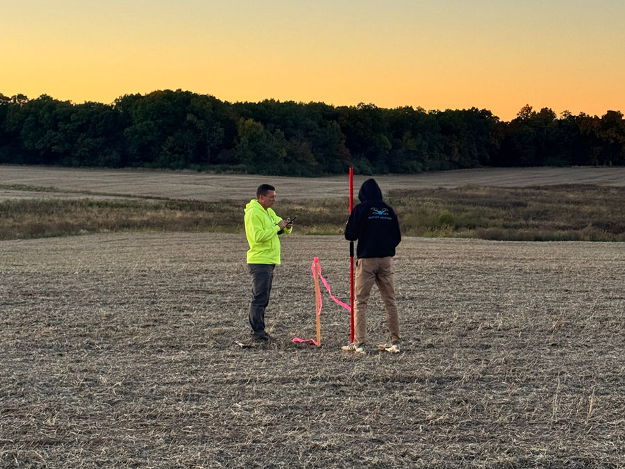
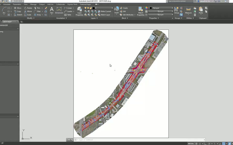
For projects that need more than photos, SkyFleet can create 3D models and digital site documentation. These models and imagery can also support as-built drawing creation by documenting existing conditions, equipment placement, site layouts, measurements, and visible infrastructure.
Useful for
- Remote site review
- Equipment inventory
- Upgrade planning
- Contractor bidding
- Asset documentation
- Before-and-after records
- Damage assessments
- Engineering review
- As-built drawing support
- Existing-condition documentation
Why Use Drone Inspections
Drone inspections help teams reduce time in the field, lower risk, and improve documentation quality.
- Fewer unnecessary site visits
- Reduced climbing and access risk
- Faster inspection turnaround
- Better photo documentation
- Remote review for teams and contractors
- Safer post-storm assessments
- Clear records for maintenance and planning
- More consistent documentation than manual photos
Deliverables
We tailor deliverables to your team's workflow, whether that is a simple photo package, a structured report, organized data for engineering and asset management, or model-based documentation for as-built updates.
- High-resolution inspection photos
- Thermal imagery
- 3D models
- Annotated photo reports
- Asset documentation
- Site overview imagery
- GIS-ready photo logs
- Before-and-after documentation
- As-built drawing support
- Model-based measurements
- Custom folders organized by asset or location
Your Inspection Partner
SkyFleet works as an extension of your team. Some clients use us for full inspection capture and reporting, while others bring us in for overflow work, hard-to-access sites, thermal needs, or special projects. We support one-off inspections, multi-site programs, storm response, telecom upgrades, utility inspections, infrastructure documentation, and as-built support.