What Is Construction Site Monitoring?
Construction site monitoring uses drones to capture regular aerial data of a job site. Each flight creates a current, measurable map of your project, giving teams a single source of truth for what is actually happening on site.
Each update shows
- Stockpiles
- Grading progress
- Roads and pads
- Utilities and trenching
- Equipment and staging areas
Cut & Fill Made Simple
We provide accurate ground surfaces from each site update. Instead of guessing or relying on field estimates, your team can see exactly how much dirt has been moved and how much remains.
Calculate
- Cut and fill
- Stockpile volumes
- Material moved
- Progress against plan
What That Means for Your Budget
- Prevent over- or under-excavation
- Control trucking and hauling costs
- Track subcontractor production
- Avoid expensive surprises
Online Viewer for Your Entire Team
All data is delivered through SkyFleet's online 3D viewer, powered by Stitch3D. It runs in a web browser on any device, and no special software is required.
- View the site in 3D
- Take measurements
- Check elevations
- Compare past vs. current flights
- Share links with stakeholders
Progress Tracking Without Walking the Site
This saves time, improves communication, and creates a permanent visual record of your project.
- See what areas have been graded
- Track road and pad construction
- Verify trench backfill
- Monitor erosion and drainage
- Document work for billing and disputes
Fast Turnaround, Contractor-Friendly Deliverables
We tailor each update to match how construction teams actually work, not how survey software works.
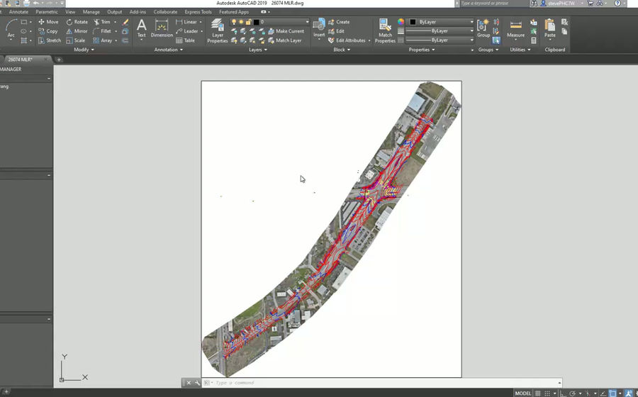
- Updated orthophotos (aerial maps)
- Ground surfaces
- Cut & fill reports
- Stockpile volumes
- 3D models
Why Construction Teams Use SkyFleet
Our data helps you see problems early, control costs, and keep projects moving.
- Fewer site walks
- Better earthwork tracking
- Clear visual documentation
- Faster decision making
- Fewer disputes