What We Deliver
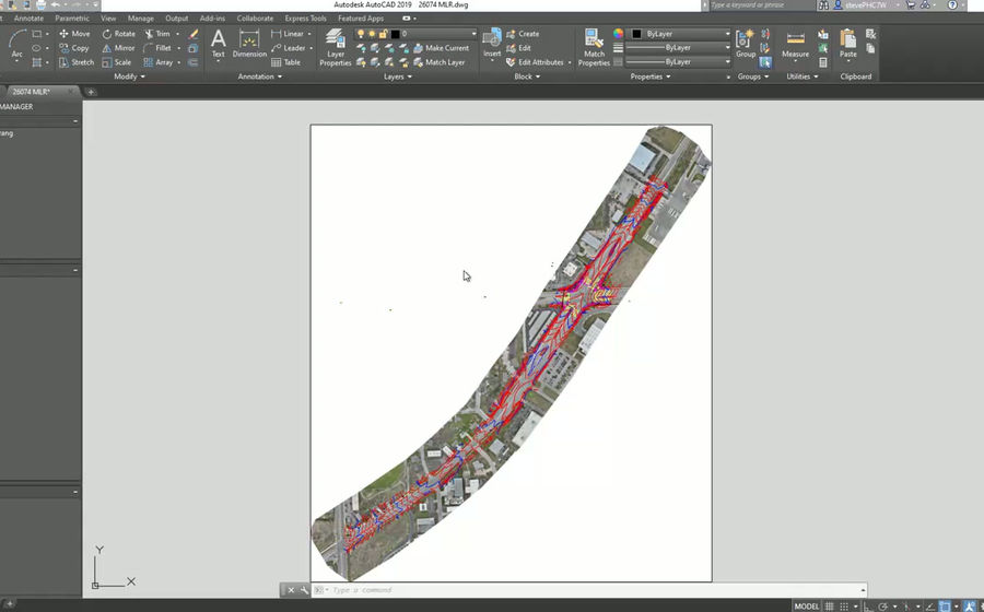
From drone-captured LiDAR and photogrammetry data, SkyFleet extracts clean, accurate line work ready for your CAD or GIS software. Whether you need 2D planimetric mapping or full 3D surface line work, we deliver files built around your workflow and software requirements.
Built for Engineers and Surveyors
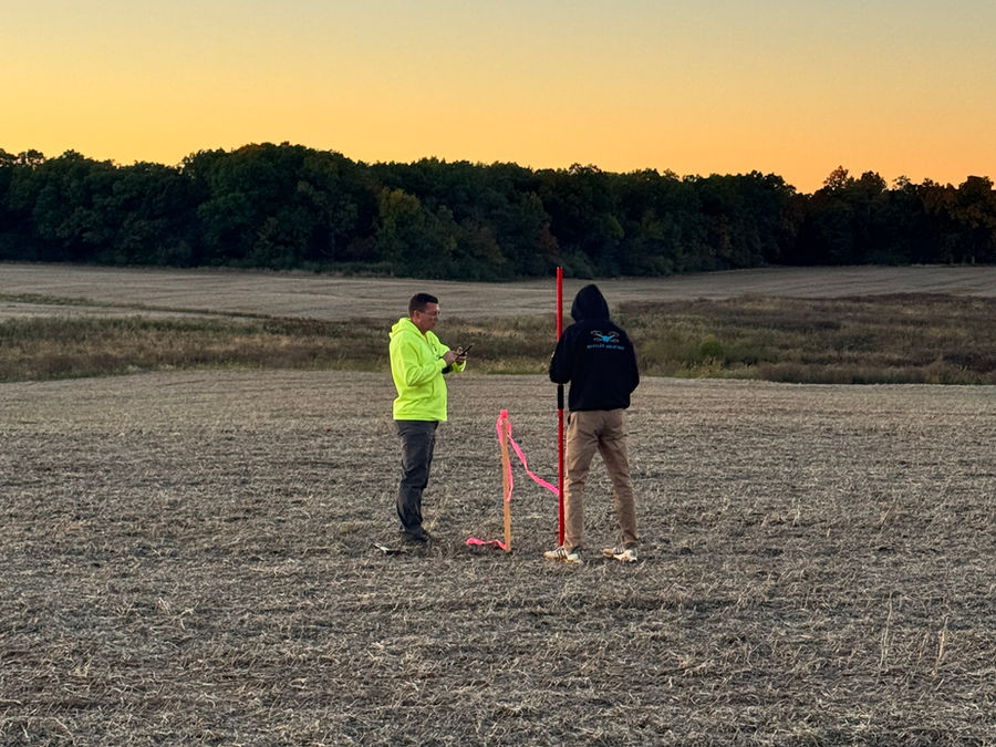
Most drone providers hand off point clouds or raw imagery and leave the rest to you. SkyFleet goes further: we process the data and produce finished line work deliverables so your engineering staff can move straight into design.
We work with your team before the flight to confirm what accuracy is required, what features need to be extracted, and what file format works best for your software.
We can deliver for
- Civil 3D
- MicroStation
- OpenRoads
- GIS workflows
- PLS-CADD
- Construction planning
- Utility design
- Survey production
2D Planimetric Line Work
2D planimetric line work captures surface features as flat, plan-view geometry: roads, curbs, buildings, utilities, drainage structures, and other visible features. The output is clean polylines and polygons in your coordinate system, ready to bring directly into your CAD environment.
3D Surface Line Work
3D line work goes beyond flat mapping. We extract breaklines, ridgelines, drainage channels, toe-of-slope, top-of-bank, and other surface features as 3D polylines that hold elevation at every vertex. These drive accurate TIN and surface models in Civil 3D, OpenRoads, and similar platforms.
Deliverables include
- Breaklines and ridgelines
- Drainage and channel centerlines
- Toe-of-slope and top-of-bank
- Curb lines and edge of pavement
- Building footprints
- Utility features and structures
- Contours (1 ft, 2 ft, or custom interval)