Topographic Surveys
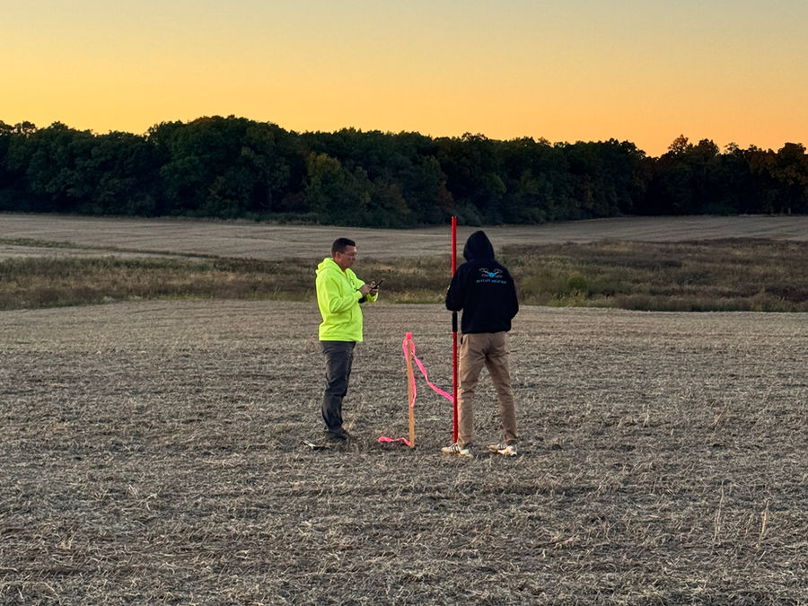
Topographic surveys capture the existing conditions of a site, including elevations, ground features, structures, utilities, drainage, roads, buildings, trees, and other visible site improvements. Engineers, designers, contractors, developers, and property owners use this information to understand the land before design or construction begins.
By using the right combination of field survey methods, drone LiDAR, and photogrammetry, we collect accurate site data efficiently while reducing field time and improving overall site coverage. Our goal is reliable survey data that is easy for design teams to use.
Project types we survey
- Land development sites
- Roadway corridors
- Utility corridors
- Construction sites
- Drainage projects
- Commercial properties
- Industrial sites
- Large acreage mapping projects
Bathymetric Surveys
Bathymetric surveys collect underwater surface data for ponds, lakes, rivers, detention basins, channels, and other water features. This information is often needed for drainage studies, volume calculations, sediment analysis, development planning, environmental work, and engineering design.
SkyFleet can combine bathymetric data with land-based topographic survey data to create one complete surface model, so clients can better understand both the land and underwater conditions of a project site.
CAD-Ready Deliverables
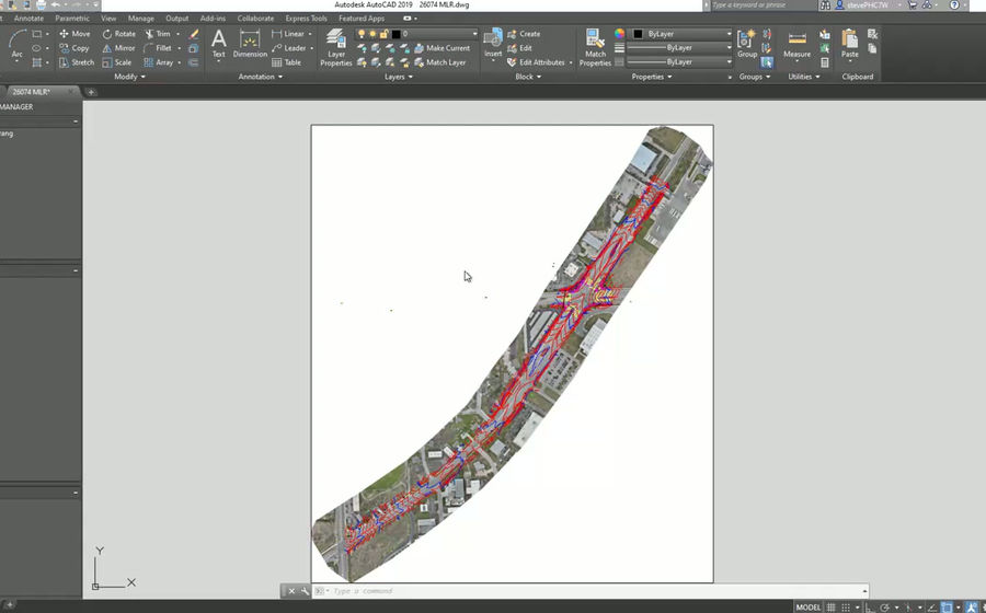
Survey data is only useful if it can be easily used by the project team. We focus on clean, manageable, CAD-ready files that support design, permitting, construction, and planning workflows.
Deliverables can include
- CAD surfaces
- Contours
- Point clouds
- Orthomosaic imagery
- DEMs
- DSMs
- Feature linework
- Breaklines
- Surface models
Why SkyFleet
SkyFleet is built to help clients collect accurate survey data faster without sacrificing quality. Each project has different needs, so we choose the right method for the site conditions, accuracy requirements, vegetation, terrain, and final deliverables.
Matching the method to the site
- Open areas, hard surfaces, and large sites: drone photogrammetry for fast, detailed mapping
- Vegetated areas, corridors, and complex terrain: drone LiDAR to capture ground data more effectively
- Ponds, channels, and water features: bathymetric sensors extend the survey below the water surface