Built for Utility and Engineering Workflows
SkyFleet partners with utility companies, engineering firms, surveyors, and contractors to collect aerial LiDAR, imagery, and inspection data for utility corridor projects. Before we fly, we work with your team to understand the corridor limits, required accuracy, asset types, vegetation conditions, file formats, and software needs.
Deliverables built for
- PLS-CADD
- Civil 3D
- MicroStation
- GIS platforms
- Utility design workflows
- Vegetation management
- Construction planning
- Asset documentation
Corridor LiDAR and Aerial Imagery
We use drone LiDAR and photogrammetry to capture utility corridors efficiently and safely. LiDAR is especially useful for corridors with vegetation, uneven ground, ditches, tree lines, and hard-to-access terrain.
Aerial imagery provides high-resolution visual context for poles, equipment, access roads, nearby structures, right-of-way conditions, and surrounding land use. On many projects we combine both, so your team receives accurate elevation data and clear visual documentation.
Transmission and Distribution Mapping
We support both transmission and distribution projects, including new route planning, rebuilds, upgrades, clearance reviews, and existing-condition documentation.
We collect and process data for
- Transmission corridors
- Distribution routes
- Pole lines
- Substations
- Access roads
- Easements and right-of-way
- River or drainage crossings
- Road crossings
- Vegetation and tree lines
- Adjacent terrain and structures
Classified Point Clouds and Feature Coding
For utility design, raw point clouds are usually not enough. We classify and organize LiDAR data so it is easier to use in engineering workflows, and we support feature coding and data organization for PLS-CADD and utility design.
Common classifications
- Ground
- Vegetation
- Buildings
- Poles
- Wires
- Guy wires / guy drops
- Structures
- Access roads
- Project-specific features
Vegetation and Clearance Support
Drone LiDAR helps identify terrain and vegetation around utility assets more efficiently than traditional field-only methods, supporting planning, maintenance, vegetation management, and engineering review.
We can help document
- Tree lines
- Vegetation height
- Ground elevations
- Corridor conditions
- Access constraints
- Potential clearance concerns
- Areas requiring field review
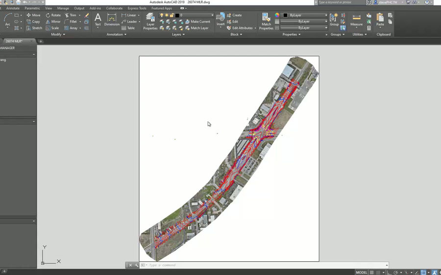
CAD, GIS, and PLS-CADD Deliverables
Instead of sending a massive raw point cloud, we clean, classify, thin, clip, and format the data so your team can actually work with it.
- Classified LAS / LAZ point clouds
- PLS-CADD-ready data
- CAD-ready surfaces
- LandXML surfaces
- Orthophotos / orthomosaics
- DEMs / DSMs
- Contours
- Pole and asset photo logs
- GIS-ready files
- Feature-coded datasets
- Thinned point clouds for easier use
Field Collection Built Around the Corridor
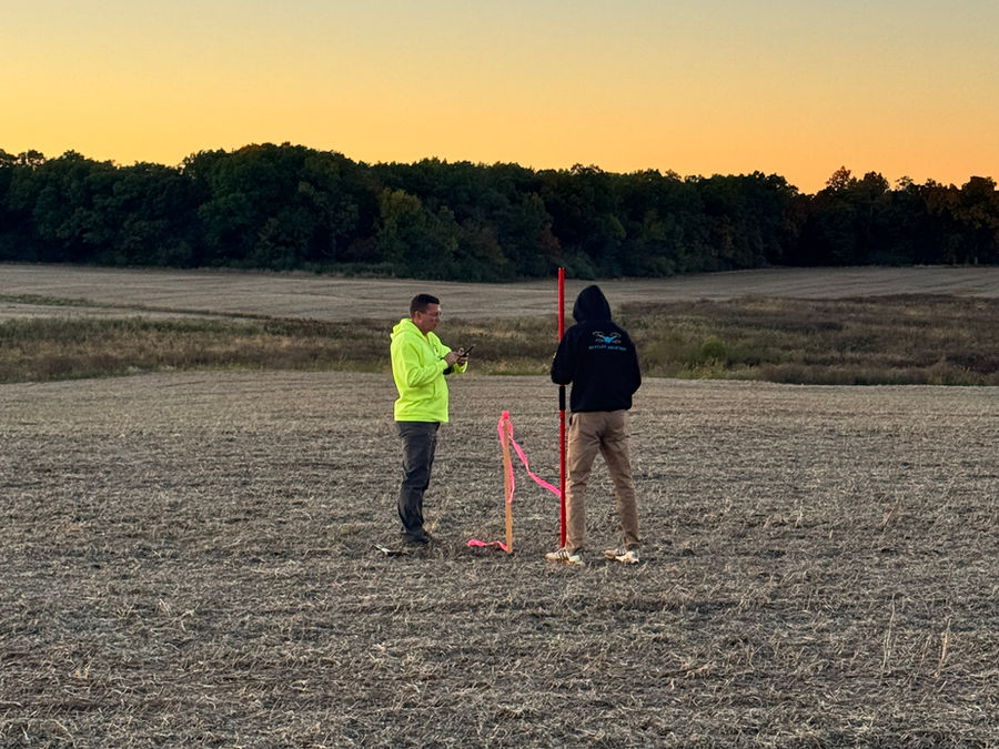
Utility corridors can be long, remote, and difficult to access. We plan flights around access points, terrain, battery swaps, safety, airspace, and line-of-sight requirements, building the flight plan around the project limits and final deliverables, not just the easiest flight path.
- Long corridor data collection
- Rural and remote routes
- Substation and line mapping
- Difficult access areas
- Vegetated corridors
- Construction or rebuild documentation
- Multi-mile utility projects
Why Teams Use SkyFleet
SkyFleet works as an extension of your team: full data collection and processing, or advanced LiDAR, overflow work, difficult access areas, and processing support for teams with their own crews.
- Faster corridor data collection
- Better visual documentation
- LiDAR through vegetation
- PLS-CADD-ready deliverables
- CAD/GIS-ready files
- Pole and wire documentation
- Point cloud classification
- File thinning and clipping
- Support for in-house utility teams
- Overflow capture and processing work