Built for Teams That Already Fly
Many firms already have drones, pilots, and field crews, but processing the data is where projects slow down. Large point clouds, heavy imagery sets, coordinate systems, classification, surfaces, and CAD exports can pull your team away from production work. SkyFleet supports in-house drone programs by processing their data into usable deliverables.
We can help when
- Your team has too much drone data to process
- Your point clouds are too large for CAD
- You need classified LiDAR
- You need CAD-ready surfaces
- You need orthophotos or imagery products
- You need feature-coded data
- Your team needs overflow processing support
- You need deliverables built for a specific client or software workflow
You Fly, We Process
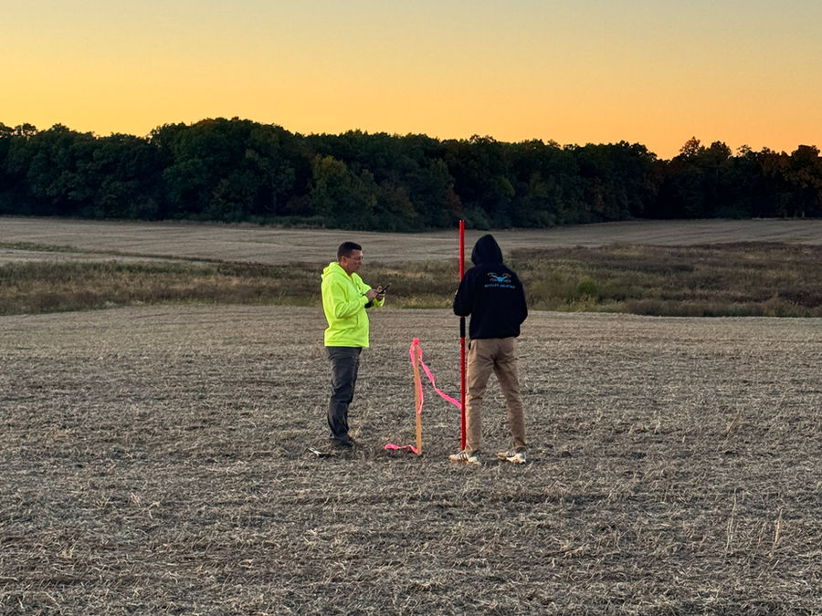
Your team captures the data and sends us the project files. From there, we process, clean, classify, thin, and format the data based on the final deliverables you need.
We can work from
- Drone LiDAR data
- Photogrammetry imagery
- GNSS / PPK data
- Ground control
- Check shots
- LAS / LAZ point clouds
- Orthophotos
- Existing project files
- Client deliverable specifications
Customized Deliverables for Your Workflow
Every company works differently. Some teams need a light CAD surface. Others need a classified point cloud, feature-coded utility data, GIS layers, orthophotos, or a complete topo package. We customize deliverables around how your team designs, drafts, reviews, and submits projects.
- Classified LAS / LAZ point clouds
- CAD-ready surfaces
- TIN surfaces
- LandXML surfaces
- Contours
- Orthophotos / orthomosaics
- DEMs / DSMs
- Feature-coded datasets
- PLS-CADD-ready data
- GIS-ready files
- Point cloud thinning
- Clipping by area or feature
- Noise removal and cleanup
- File organization by client or project requirements
Point Cloud Classification and Feature Coding
Raw point clouds are difficult to use without proper classification and cleanup. We classify and organize LiDAR data so it is easier to work with in CAD, GIS, PLS-CADD, and other design platforms, and we can support feature coding for utility design, corridor modeling, and other engineering workflows.
Common classifications
- Ground
- Vegetation
- Buildings
- Poles
- Wires
- Guy wires / guy drops
- Structures
- Roads
- Water
- Project-specific features
Thinning, Clipping, and CAD-Friendly Files
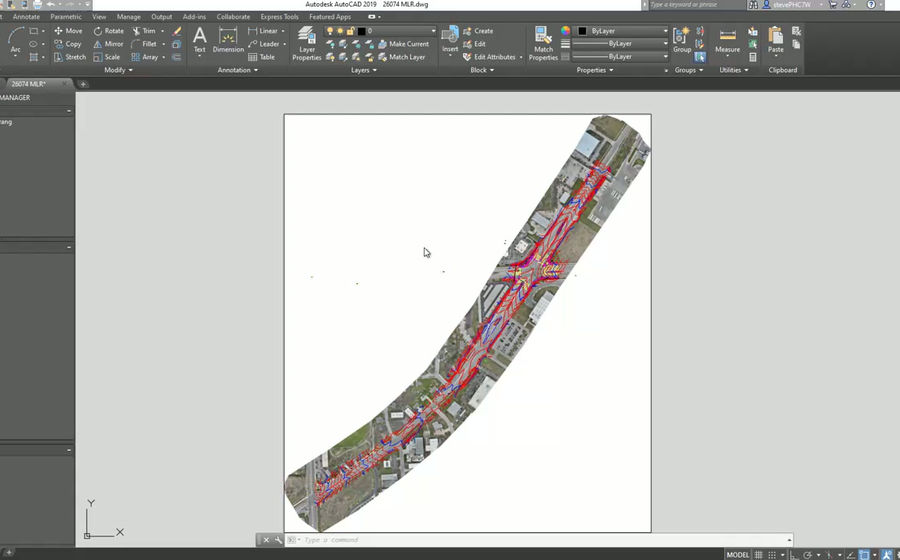
A project can start with hundreds of millions of points, but most CAD users do not need all of that data loaded at once. We thin and clip point clouds so your team gets a smaller, cleaner, more manageable file without losing the important design information. Our goal is to make the data usable, not just processed.
This helps
- Reduce CAD crashes
- Improve file performance
- Make surfaces easier to use
- Remove unnecessary data
- Keep only project-critical information
- Separate files by area, class, or deliverable type
Photogrammetry Processing
We process drone imagery into high-quality photogrammetry deliverables for engineering, survey, construction, and mapping projects. With proper control and QA/QC, photogrammetry is a powerful tool for hard surfaces, open sites, construction areas, roads, and visual mapping.
- Orthophotos / orthomosaics
- 3D models
- Point clouds
- Surface models
- Contours
- Volumes
- Visual site documentation
LiDAR Processing
We process drone LiDAR datasets into clean, classified, and usable files for topo, utility, vegetation, corridor, and infrastructure projects. This is especially useful where there is vegetation, ditches, corridors, uneven terrain, or soft ground.
- Trajectory review
- Point cloud alignment
- Ground classification
- Vegetation classification
- Noise removal
- Surface creation
- Classified exports
- Accuracy validation
- CAD / GIS formatting
QA/QC and Accuracy Review
Processing is not just exporting files from software. SkyFleet reviews the data so your final deliverables are cleaner, easier to trust, and match the project requirements before they are sent back to your team.
- Control alignment review
- Check shot comparison
- Surface review
- Point cloud cleanup
- Classification review
- Orthophoto review
- File format checks
- Deliverable review before export
Your Processing Partner
Whether your team needs help on one project or ongoing processing support, SkyFleet can work behind the scenes as your drone data processing partner. You collect the data. We turn it into customized deliverables that fit your workflow.