Boundary Surveys
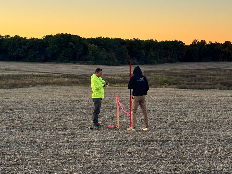
Boundary surveys establish or verify property lines, corners, easements, encroachments, and other important site features. They are critical for property development, design planning, acquisitions, utility work, construction, and legal documentation.
We collect accurate field data, review site conditions, locate visible improvements, and prepare survey information that helps clients understand the limits and conditions of a property, whether it is a small site, a large development area, or a utility corridor.
Right-of-Way Surveys
Right-of-way surveys are important for transportation, utility, roadway, infrastructure, and development projects. They help identify existing right-of-way limits, easements, property impacts, access areas, utilities, and site features that may affect design or construction.
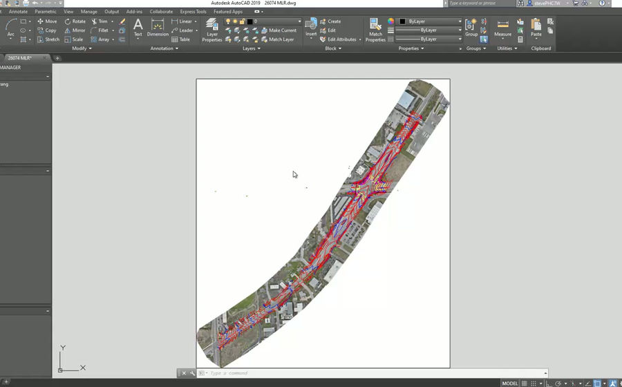
We provide right-of-way survey support for roads, power corridors, telecom infrastructure, drainage improvements, utility extensions, and public or private development. By combining traditional survey methods with drone LiDAR, photogrammetry, and CAD-ready processing, we help clients capture the information needed to plan, design, and build with confidence.
Tree Surveys
Tree surveys locate and document trees on a project site for design, permitting, environmental review, development planning, and construction coordination. They can help identify tree locations, site constraints, clearing limits, preservation areas, and potential impacts before construction begins.
Tree survey data can be provided as part of a larger boundary, topographic, or site survey, so engineers, developers, landscape architects, and contractors can make informed decisions during planning and design.
Deliverables can include
- Tree locations
- CAD linework
- Point data
- Aerial imagery
- Mapping files
Why SkyFleet
SkyFleet is built to help clients move faster without sacrificing accuracy. Survey data needs to be more than collected; it needs to be clean, organized, and usable. We focus on practical survey information that fits directly into engineering, construction, and design workflows.