SkyFleet in the Field

Iowa · South Carolina · Nationwide

Surveyors, drones, and GNSS control working across utility, roadway, and remote-terrain projects. Here is a look at the crews and equipment behind our data.

A survey drone hovering over a field beside an aerial control target
Drone & aerial control target
A technician working with a handheld device at an electrical substation
Substation field work
A GNSS base station tripod and a drone on the ground beside a substation
GNSS base station & drone
A surveyor with a GNSS rover pole on a roadway
GNSS rover on a roadway
A drone with a sensor payload flying low beside a gravel road with power lines overhead
Power corridor flight
Two crew members setting control with a survey pole in a field at dusk
Setting control at dusk
A crew member on an ATV beside a tripod on a remote mountain slope
Remote terrain
A fixed-wing drone on the bed of a pickup truck
Fixed-wing launch prep
A pilot with a controller beside a drone on a landing pad
Pre-flight at the pad
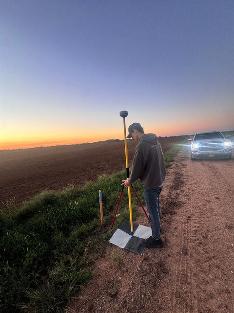
A surveyor setting up a GNSS rover pole on a rural highway shoulder
Control on a rural highway
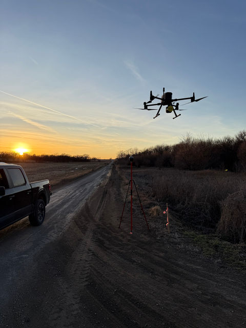
A survey drone flying at sunset above a dirt road, with a pickup truck and a GNSS tripod below
Sunset flight
A GNSS rover pole set over a marked point on railroad tracks
GNSS control on rail
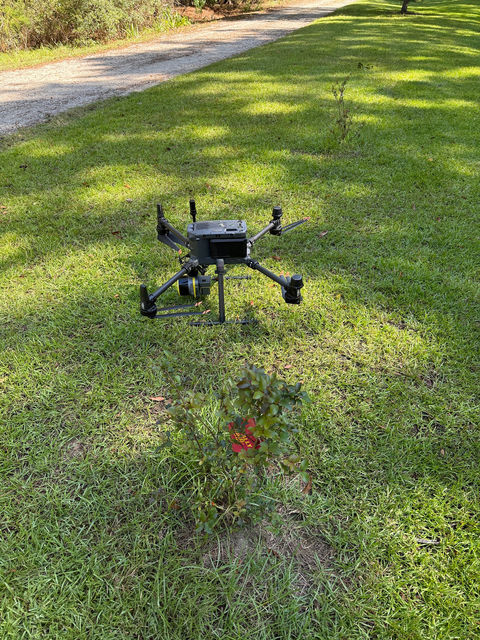
A survey drone with a sensor payload on the ground in grass before flight
Pre-flight check
A drone hovering above a grassy slope with a GNSS tripod and ground control target below
Drone over ground control
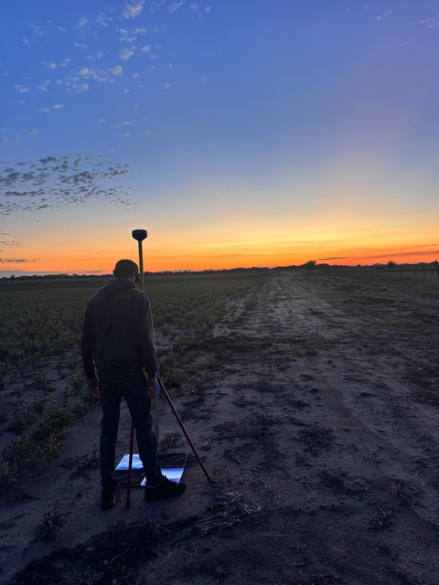
A surveyor setting up a GNSS rover pole in a farm field at sunset
GNSS base at sunset
A survey drone in flight over a field at midday
Drone in flight
A survey drone flying near power lines over a farm field
Power line flight
A survey drone flying beside a culvert and gravel road
Culvert and road corridor
A survey drone flying over a green farm field
Drone over farmland
A survey drone with a sensor payload on spring grass with dandelions
Spring pre-flight
A survey drone on a mowed grass strip before flight
Drone staged for launch
A GNSS rover pole set up near power lines beside a tree line
GNSS control near power lines
A survey drone with a sensor payload on gravel beside a tower and building
Staged beside a tower
A survey drone on the ground at a rural site near an old building
Rural site setup
A survey drone and gear loaded in the bed of a pickup truck
Loaded and ready
A survey drone flying above a concrete trail beside a fence
Trail corridor flight
A surveyor standing with a GNSS rover pole at dusk
Surveyor at dusk
A survey drone staged on dirt beside a shop building
Staged at the shop yard
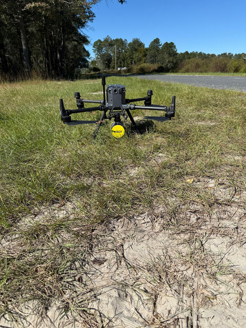
A survey drone and equipment case on sand beside a road
Drone and gear on site
A GNSS rover on a tripod at a pipe yard
GNSS base at a pipe yard
A GNSS pole standing in a soybean field at sunset
GNSS pole at sunset
A surveyor with GNSS equipment between rows of corn
Setting control in corn
A surveyor in an orange shirt and waders standing at the edge of a flooded swamp
Wetlands field work
A surveyor in an orange shirt standing at the edge of a swampy pool beneath tall trees
Wetlands site
Tall cypress and hardwood trees reflected in dark swamp water
Swamp terrain
A hand holding a GNSS rover pole over dark swamp water among trees
GNSS rover in the swamp

Want this crew on your project? Start a project →